countries included
mines tracked
mine owners
tonnes of coal mined per year
Overview
Global coal demand growth is slowing year over year. However, annual production remains record high, and the scale of existing and planned projects still threatens climate targets.
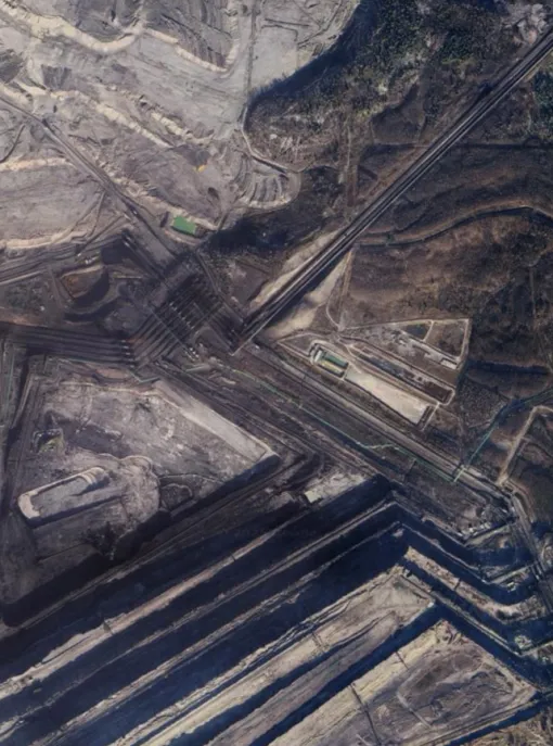
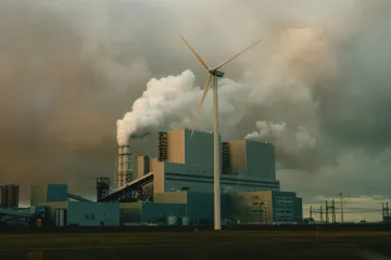
Coal mining remains a foundational component of global industry and energy production, yet its continued expansion creates significant challenges for a sustainable future. Understanding the scale of this infrastructure and phaseout considerations is critical as the industry evolves. While the coal power sector is experiencing a steady wave of retirements, the coal mining sector lags behind in its phaseout plans, due to an expanding metallurgical coal market, high demand and high energy prices as a result of the wars in Ukraine and Iran, and a growing number of countries seeking energy independence by increasingly leveraging their domestic coal resources.
GEM’s latest coal mine research identifies 837 coal mine proposals totaling 2,533 million tonnes per annum (Mtpa) under development — a nearly 12% increase from 2024. While new mine capacity openings continue to decline, having dropped by more than 50% since 2024, the global pipeline remains massive. With 700 Mtpa already under construction, these projects lock in decades of production and increase the risk of stranded assets in a rapidly evolving market.
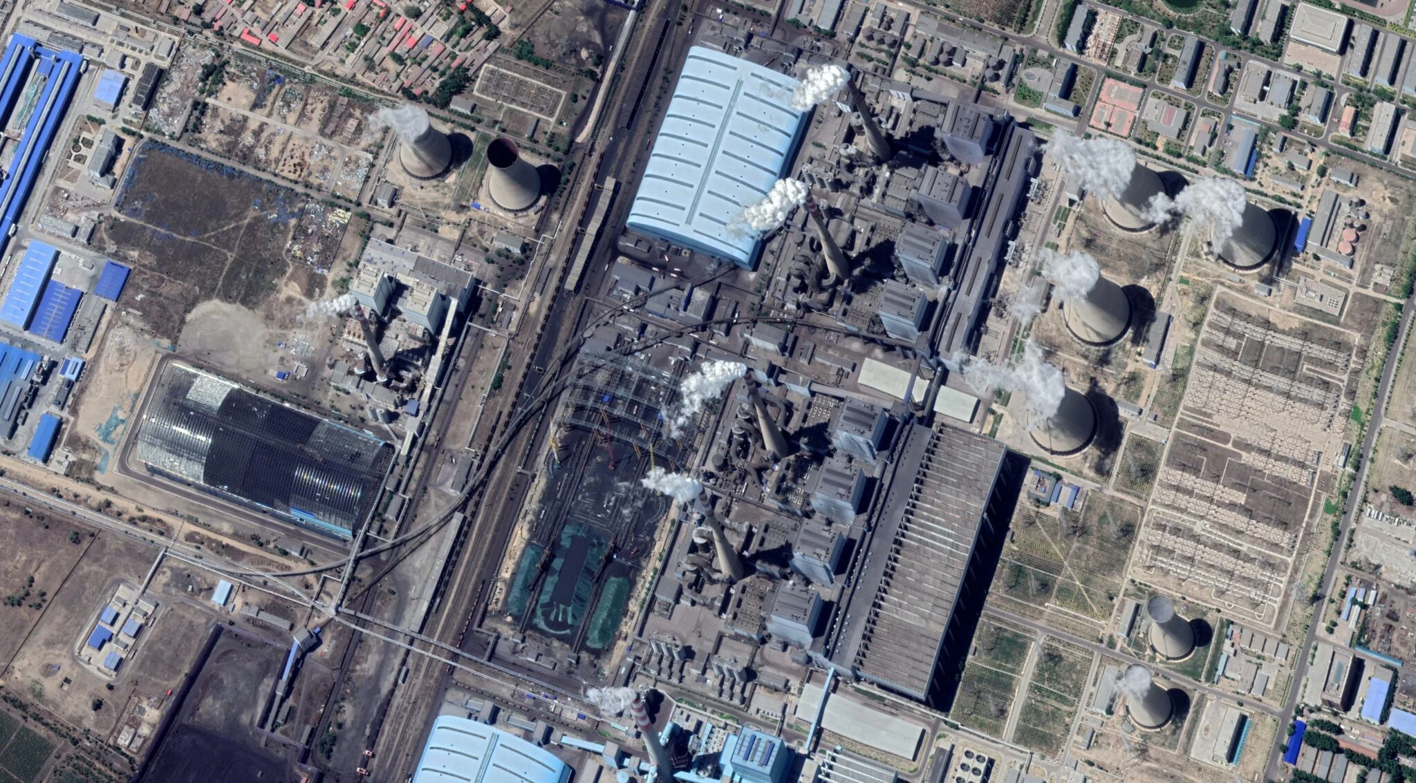
Global development is heavily concentrated in China, India, Australia, Russia, and South Africa, which represent over 90% of all proposed capacity. China alone accounts for 1,329 Mtpa — more than the rest of the world combined. Thermal coal for power generation still dominates global expansion plans, accounting for around 70% of proposed capacity, but the development of metallurgical coal for steelmaking is increasingly important, as deeper underground operations increase its methane intensity.
The climate, environmental, and human costs of this infrastructure are central to a clean and just energy transition. Beyond carbon dioxide from coal combustion, coal mining releases immense volumes of methane, often surpassing the gas sector’s footprint, despite receiving far less scrutiny. Proposed mines alone could emit 16.8 million tonnes of methane annually.
In 2025, the GCMT's mine-level records show total coal production from operating assets reached approximately 9.1 billion tonnes.
92% of coal mining capacity development worldwide is concentrated in just five countries.
What's inside?
The most recent release of this data was in May 2026.
Methodology
To learn more about the various components of the Global Coal Mine Tracker, see the frequently asked questions and our methodology.
Global Energy Monitor’s Global Coal Mine Tracker uses a two-level system for organizing information, consisting of both a database and wiki pages with further information. The database tracks individual coal mines and includes information such as operator and ownership structure, mine status, mine and coal type, workforce size, and location. A wiki page created for each coal mine in GEM.wiki contains more detailed, footnoted information such as mine history, labor activity, and public opposition. The database and wiki pages were previously updated bi-annually, and moved to an annual update cycle in 2023.
The Global Coal Mine Tracker includes all operating, inactive, and proposed greenfield and brownfield mines, with a production capacity of 1 million tonnes per annum (Mtpa) or larger, as well as mines closed since 2015. Small-scale mines are included at discretion as time and staff capacity allows. For China, all coal mines with a production capacity of 0.45 Mtpa or larger are tracked.
Preliminary lists of coal mines in each country are gathered from public and private data sources including Global Energy Observatory, Global Methane Initiative, European Association for Coal and Lignite (EURACOAL), Instrat, Mining Data Online, Oxpeckers #MineAlert, as well as various company and government sources. The data is then vetted against additional sources of information, listed below.
Coal mine data is validated and updated through five main sources:
- Government data on individual coal mines (such as China’s National Energy Administration, Australian Mine Atlas, and the U.S. Mine Safety and Health Administration’s Mine Retrieval System); country energy and resource plans; and government websites tracking coal mine permits and applications, including Canada’s Impact Assessment Agency and Australia’s Office of the Chief Economist “Resource and Energy Major Projects List.”
- Reports by state-owned and private mining companies;
- News and media reports;
- Local non-governmental organizations tracking mining permits and mine operations;
- On the ground contacts who can provide first-hand information about a project or mine.
Where possible, coal mine data is circulated for review to researchers familiar with local conditions and languages.
For each coal mine and proposal, a wiki page is created on Global Energy Monitor’s GEM.wiki. Wiki pages provide a repository for in-depth information including project background, financing, environmental impacts, coal types and sources, public opposition, aerial photographs, videos, links to permits, coordinates, and maps. Under standard wiki convention, all information is linked to a published reference, such as a news article, company or government report, or a regulatory permit. In order to ensure data integrity in the open-access wiki environment, Global Energy Monitor researchers review all edits of project wiki pages.
Methane emissions data are included for each coal mine in the tracker. Whenever possible, reported emissions figures at the mine scale are captured. (Reported data are often limited to select countries, such as Australia, Canada, Poland, and the U.S.) However, when reported data is unavailable, the tracker calculates coal mine methane emissions based on the following information:
- Production (tonnes);
- Gas content at given mining depth (m3/tonnes);
- Emissions factor coefficient
Further details, including parameters and sources, can be found at “Reported coal mine methane emissions” and “Estimating methane emissions from coal mines” on GEM.wiki.
The Global Coal Mine Tracker features coal mine assets that are associated with remotely sensed methane plumes, as detailed in the Global Methane Emitters Tracker (GMET). GMET analyzes satellite-detected methane plumes in order to determine whether they have been observed at or near the site of GEM energy assets.
Further details can be found within the Global Methane Emitters Tracker methodology wiki page.
In 2026, the Global Coal Mine Tracker, in collaboration with the Global Methane Emitters Tracker, began identifying 250 assets across 19 countries for which coal mine boundaries and potential sources of coal mine methane data is available. This information can be used to drive coal mine methane attribution and mitigation efforts, particularly when combined with remotely sensed methane plume locations and mine ownership data.
Further details can be found at the GEM methodology wiki page on coal mine boundaries and methane sources.
In 2025, the Global Coal Mine Tracker began monitoring gas-level ratings of coal mines as part of its effort to identify potential high-emission mines and their locations. Currently, this indicator is available only for coal mines in China, where mines are typically classified into three levels:
- Low-gas
- High-gas
- Outburst.
Further details, including parameters and sources, can be found at the GEM methodology wiki page on coal mine gas-level ratings.
When employment data is unavailable, the Global Coal Mine Tracker utilizes a machine learning (ML) model to estimate the workforce size of specific coal mines, drawing on a range of other input features for the estimation.
Further details, including parameters and sources, can be found at the GEM methodology wiki page on estimating coal mine workforce size.
To allow easy public access to the results, Global Energy Monitor worked with GreenInfo Network to develop a map-based and table-based interface using the Leaflet Open-Source JavaScript library. In the case of exact coordinates, locations have been visually determined using Google Maps, Google Earth, Planet Labs, or Wikimapia. For proposed projects, exact locations, if available, are from permit applications or other company documentation. If the location of a plant or proposal is not known, GEM identifies the most approximate location.
Frequently asked questions
The colors indicate the mine status category:
- Proposed: Mine projects at any stage of being “under development.” This includes projects that have been announced via corporate or government planning documents; projects under permitting (including feasibility studies); projects under construction; and projects in test operation.
- Operating: Mines where coal removal is occurring for commercial purposes. This includes mines that have produced coal within the year, even if operations were temporarily suspended for several months.
- Shelved: Proposed coal mine projects for which no public updates nor progress has been observed for 2+ years.
- Cancelled: Proposed coal mine projects for which a cancellation announcement has been made by the owning company or government authorities. GEM also assigns a status of "cancelled" to projects when no progress has been observed for 4+ years.
- Mothballed: Coal mines that are neither operating nor retired, such as those that are idled or put on "care and maintenance." Such mines could return to operation at a future date, but are not currently actively producing coal.
- Retired: Previously operating coal mines that have permanently ceased coal production.
Yes, go to the legend (bottom left corner of the map) and click in the box next to a color.
If a coal mine is still in the proposal phase, prior to construction and extraction, there may be no sign of activity. In other cases, only approximate location information could be found. Underground mines may show limited activity above ground. Finally, satellite photos in some geographies are updated infrequently, so recent activity is not shown.
Locations tend to be known with greater accuracy as mines move from early stages of development toward construction. To find out the coordinates of a location and whether a location is exact or approximate, click on the location dot, select the wiki page, and look under “Project Details.”
Yes, click on “Table View” in the top left corner of the map.
To the greatest extent possible, methane emissions figures are gathered from reported sources, such as government GHGRP data and company ESG reports. However, when methane data is not available, it is derived from calculations based on coal production, gas content at mine depth, and an emissions factor coefficient. For details, see “Estimating Methane Emissions from Coal mines” on GEM.wiki.
To the greatest extent possible, employment numbers are gathered from reported sources, such as mine permits and company annual reports. However, when employment data is not available, the tracker employs a machine learning (ML) model to predict the workforce size of a particular coal mine, utilizing various input features for the estimation. For details, see “Estimating coal mine workforce size” on GEM.wiki.
The tracker includes all operating, inactive, and proposed greenfield and brownfield mines with a production capacity of 1 million tonnes per annum (Mtpa) or more, as well as mines abandoned or permanently closed since 2015. Small scale mines are included as discretion.
For China, all coal mines with a production capacity of 0.45 Mtpa or more are tracked.
Production is the reported/estimated coal output of a mine, whereas capacity is the amount of coal the mine is engineered to produce. The tracker provides annual coal production data in million tonnes (Mt) at operating mines and annual designed capacity at proposed operations. If recent production figures are unavailable at an operating mine, capacity figures are substituted.
Whenever possible, the tracker uses saleable production figures (the tonnage after processing) rather than ROM tonnage (the tonnage recorded before processing that may include raw materials and waste).
The tracker collects data on coal reserves and resources at each operation and project in million tonnes (Mt) and defined in compliance with international JORC reporting standards. The Total Reserve figure includes measured resources that are sufficiently “proved” and indicated/measured resources that are “probable.” For details, see “Coal Reserves” on GEM.wiki.
The tracker was designed and produced by Global Energy Monitor. The coalfield base-layer was created by Alice McGown (LINGO). Web/GIS programming was done by Tom Allnutt (GreenInfo Network), with support from Tim Sinnott (GreenInfo Network).
The following GEM researchers contributed to the May 2026 update: Wynn Feng, Tiffany Means, Elli Newman, James Peng, and Mingxin Zhang.
The tracker’s current project manager is Dorothy Mei.
Appreciation is also extended to the tracker’s past contributors: Özgür Acir (Association of Geological Researches – JADE), Noorafsha Adbulla (Conservation Action Trust), Paula Baker, Mary Beckman, James Browning (F Minus), Bob Burton (GEM), Gregor Clark (GEM), Dulguun Gantulga, Anne Grainger (Coal Action Network), Celia Hack, Julie Joly (GEM), Prasad Khale (Conservation Action Trust), Madhuresh Kumar (NAPM India), Yedan Li, Ted Nace (formerly GEM), Kerry Nelson, Dan O’Beirne, Christine Shearer (GEM), Ryan Driskell Tate (GEM), Adrian Wilson, Aiqun Yu (GEM), Ege Yuzbas, Scott Zimmerman (GEM), and Medha Kapoor.
Contact
For questions about the Global Coal Mine Tracker, contact Dorothy Mei: