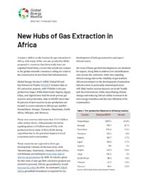

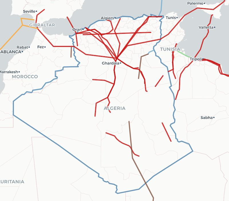
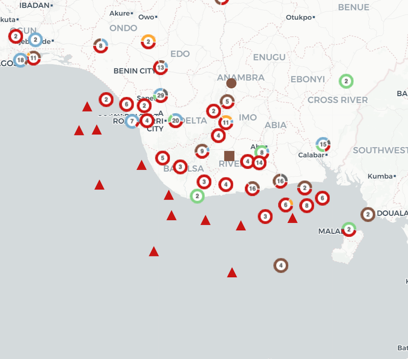
The Africa Gas Tracker provides a comprehensive dataset of gas infrastructure across Africa. The tracker covers gas pipelines, LNG terminals, oil and gas-fired power plants, and gas extraction sites. The map and underlying data are updated every year, and each project has a dedicated wiki page on GEM.wiki that provides extensive detail on the project, such as the project’s status, capacity, and ownership.
The interactive map format allows users to geographically visualize various configurations of pipeline routes and infrastructure locations. The data for this tracker are drawn from the global datasets developed by the Global Oil and Gas Plant Tracker, Global Oil and Gas Extraction Tracker, and Global Gas Infrastructure Tracker.
The current release includes the most recent Africa data from each of these trackers. The dates for each of the trackers’ most recent updates are listed in the About page of the data download.
To receive notifications about this project, please sign up for our mailing list. If you have questions about this project, please contact the Oil and Gas Program Director, Julie Joly.
- 70.4
- GW of oil and gas plants in development
- 122
- mtpa LNG terminal capacity in development
- 25K
- km of gas pipelines in development
- 29
- gas extraction areas in development
Summary Tables
- Gas Plants by Country (MW)
- Gas Plants by Region (MW)
- Ownership of Gas Plants in Africa (MW)
- Gas Plants by Technology by Country (MW)
- Pipelines by Country (km)
- Pipelines by Start Year (km)
- LNG Export Projects by Country
- LNG Import Projects by Country
- LNG Export Capacity by Country (mtpa)
- LNG Import Capacity by Country (mtpa)
Featured Report
The scramble for Africa’s gas
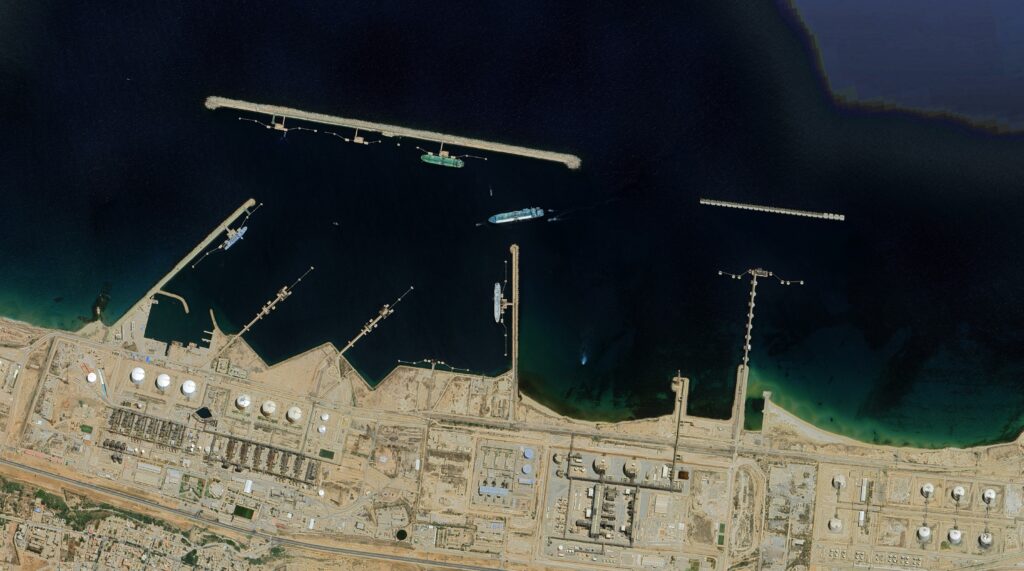
Map Data: Google, Image ©2022 Maxar Technologies